Hello all:
I would like to know if it is possible in JMIX to achieve the following:
-
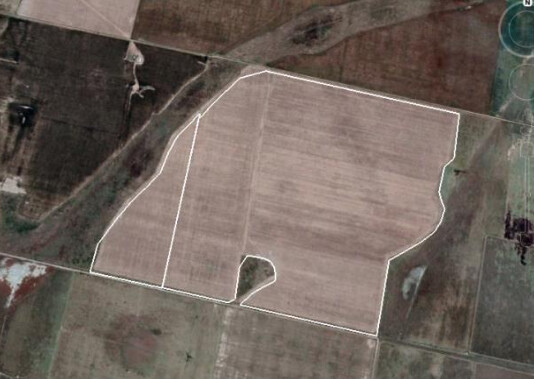
Interact with a map (google maps/OpenStreetMap) to create a walking route and be able to obtain an aerial photo of it.
Something like this:

-
Take a photo with the device’s camera.
-
Is there a way to create a PWA (progressive web app)? as I understand JMIX is based on Vaadin and from this platform it is possible.
It is to know if I can start a development based on JMIX or should I look for an alternative.
Thanks!